iNeighborhoods Geospatial Flash Flood Platform
Flash Flood Platform
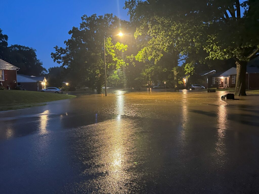
As extreme weather events become more frequent and localized, communities need smarter tools to stay safe and be better prepared. The iNeighborhoods Flash Flood Monitoring Platform is a cost effective geospatial early warning system designed to detect and communicate flash flood risks in real time to you, stakeholders, first responders, and citizens—before they become disasters. No matter if you are a small or a large community, iNeighborhoods have a solution for you.
What It Does
The platform combines innovative IoT sensors, live-streaming cameras, and localized weather station data to continuously monitor flood-prone areas. With real-time data streaming into a centralized dashboard, local municipalities, first responders, and residents can act faster, smarter, and more confidently.
Key Technologies – Options
Water Level Sensors – Radar or sonic water level sensors monitor rising water with accuracy.
Live HD Cameras – Remote-access cameras provide 24/7 visibility of hard-to-reach streambeds, culverts, and road crossings.
Geospatial Dashboard – A custom-built, map-based interface visualizes sensor data, live camera feeds and first responder location data. Works with desktops, laptops, tablets or mobile devices
Real-time Alerts – Configurable thresholds trigger automatic data analytic and video alerts via SMS, app, API or email notifications.
First Responders – First responder vehicles can be tracked as “’in theatre or as onsite” on a GIS map.
Weather Station Options – Can provide highly localized weather data where needed most.
Optional Sensors – For tunnel security or for measurement of adjacent flood plain or basement moisture content.
Mounting Options – We also have a variety of different mounting options depending on your location and access challenges.
Why It Matters
Faster Response Times – Emergency crews receive early alerts before water levels peak.
Community Protection – Residents can act based on verified, real-time data.
Scalable & Cost-Effective – Designed for corridors, neighborhoods, and rural areas alike.
Open for Integration – Compatible with municipal emergency systems, public safety apps, CodeRED and smart city dashboards. Can also generate green, yellow or red alerts.
Economic Development and Education
The platform also has an optional secure login for K-12 educators and students to learn more about flash floods and climate change.
Next Steps
No matter if you only need one sensor for a small back woods application, or you need a full system to protect and inform a larger corridor or community, iNeighborhoods has a solution for you.
Let us know your requirements !
For more information contact:
David Sandel
6900 Delmar Blvd
Saint Louis, Missouri
davidsandel@ineighborhoods.us
